As the official SQL client, Oracle SQL Developer is popular. It offers a function to view spatial data using Map View tool.
Assume you have an Oracle Spatial-enabled database, you have a Shape column with SDO_GEOMETRY data type in your spatial table. This column contains spatial data. How to see the actual map or shapes in Oracle SQL Developer?
First, we may do a query for this spatial table, e.g. SELECT * FROM LGS_Land_Parcel_Geo.
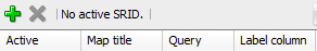
Second, go to SQL Developer menu View \ Map View to turn on Map View panel. Click + button in the toolbar of Map View panel to open Map Query box. Insert above query statement and provide a Map Title for your query. Click OK to close the dialog box.
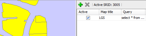
The map of this table shows in left Map View panel. The parcel is clickable and the right-click menu item Show Geometry Context displays tabular data in a dialog box.
Furthermore, SQL Developer offers right-click menu to display the shape of individual SDO_GEOMETRY data. In result set panel, right click Shape cell, right-click menu pops up with geometry-related menu items.
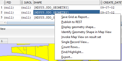
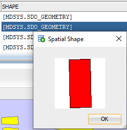
Click Display geometry shape… It shows the shape:
Happy learning!
Lionsgatesoft.com consultants have rich experience in spatial data architecture design, development and spatial data migration. Should you have any questions, please feel free to contact us.